 Horn und Tusk
 Horn und Tusk
We believe technology, used alongside conventional conservation and conflict methods, produces better outcomes for both people and wildlife. This page documents that pursuit of belief.
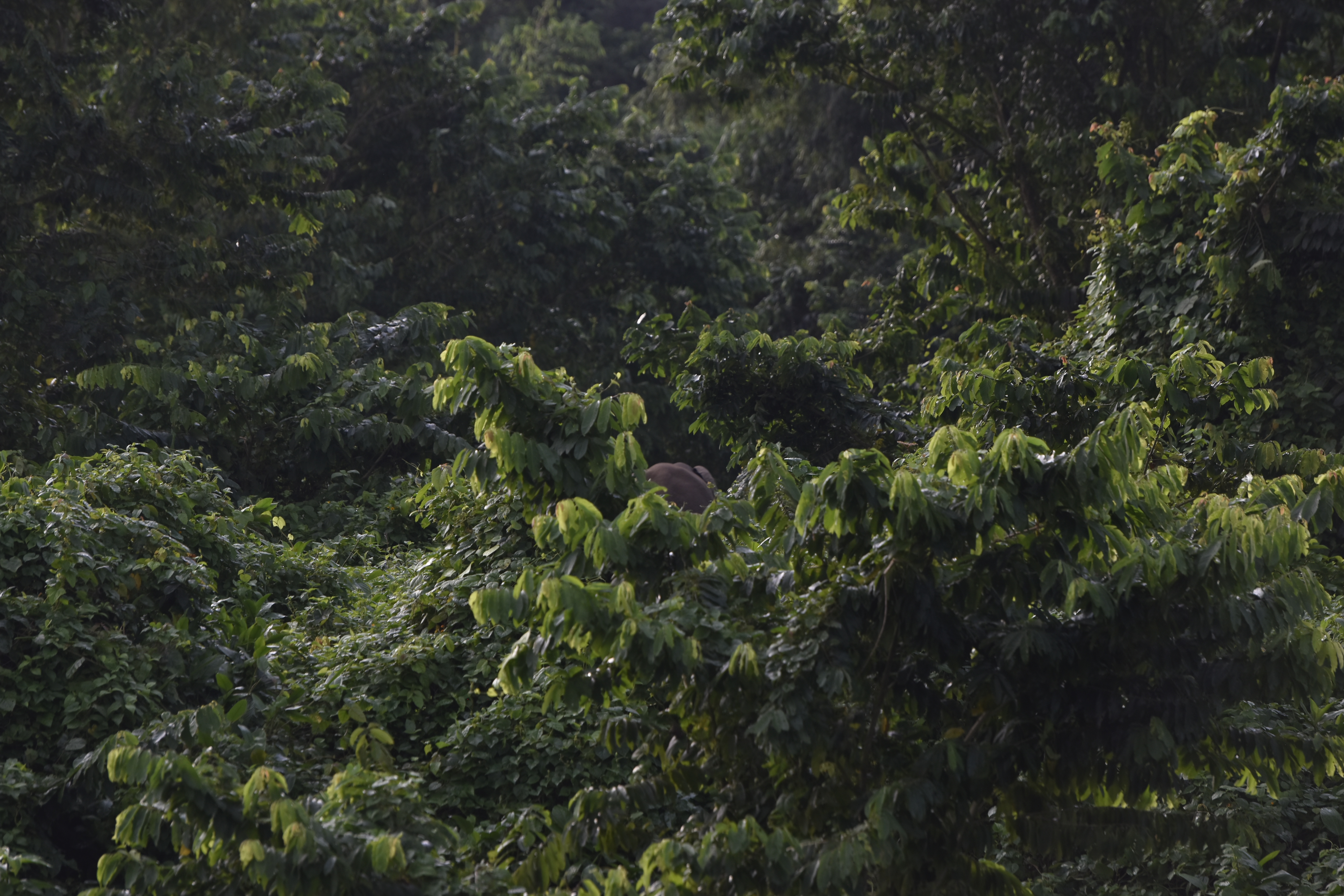
A forest elephant on abandoned farmland near the Mt Cameroon National Park boundary. This is the human-wildlife frontier.© Horn und Tusk
Thermal drones have transformed elephant conservation across Africa's savannas — conflict response, anti-poaching, herd monitoring. But African forest elephants are a distinct species, recognised as such only in 2021, living in dense canopy environments where savanna tools and methods do not transfer. Existing drone work on forest elephants has focused on behavioural studies and population surveys in research contexts. Using thermal drones to assist with active human-wildlife conflict at the forest elephant frontier has never been attempted. We intend to be first, at Mt Cameroon, and to document everything honestly.
This claim is made with confidence and without arrogance. If this has been done anywhere, we want to know — it would strengthen our work, not stop it.
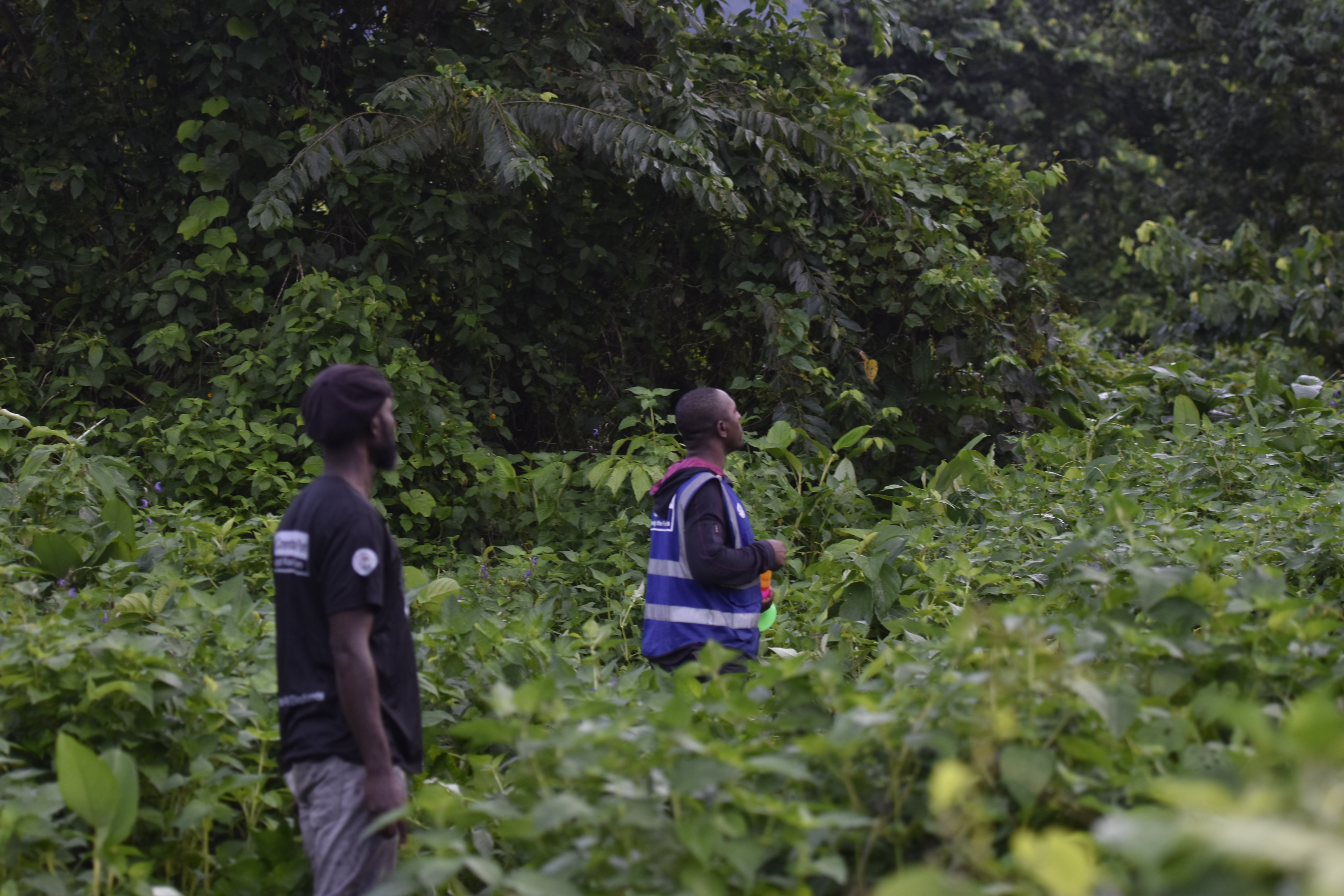
At Mt Cameroon, eco-guards locate forest elephants by going out on foot every night. They follow fresh trails through dense, high vegetation in the dark. When they find the elephants, they are close — sometimes close enough that if an animal charges, the only option is to run. A team leader was injured doing exactly this. This is not an exceptional event. This is the method.
A thermal drone changes this entirely. Launch it before anyone enters the vegetation. Know where the elephants are, how many, which direction they are moving — before a single person takes a step toward them. The eco-guards stay safe. The elephants are located. The conflict can be managed with information rather than proximity.
Safety is the primary purpose. Everything else — the population data, the movement patterns, the proof of concept — follows from that. If thermal drone assistance works here, in dense volcanic forest, with a species and terrain where it has never been tried, it opens the possibility of the same approach being adapted at other sites facing the same problem.
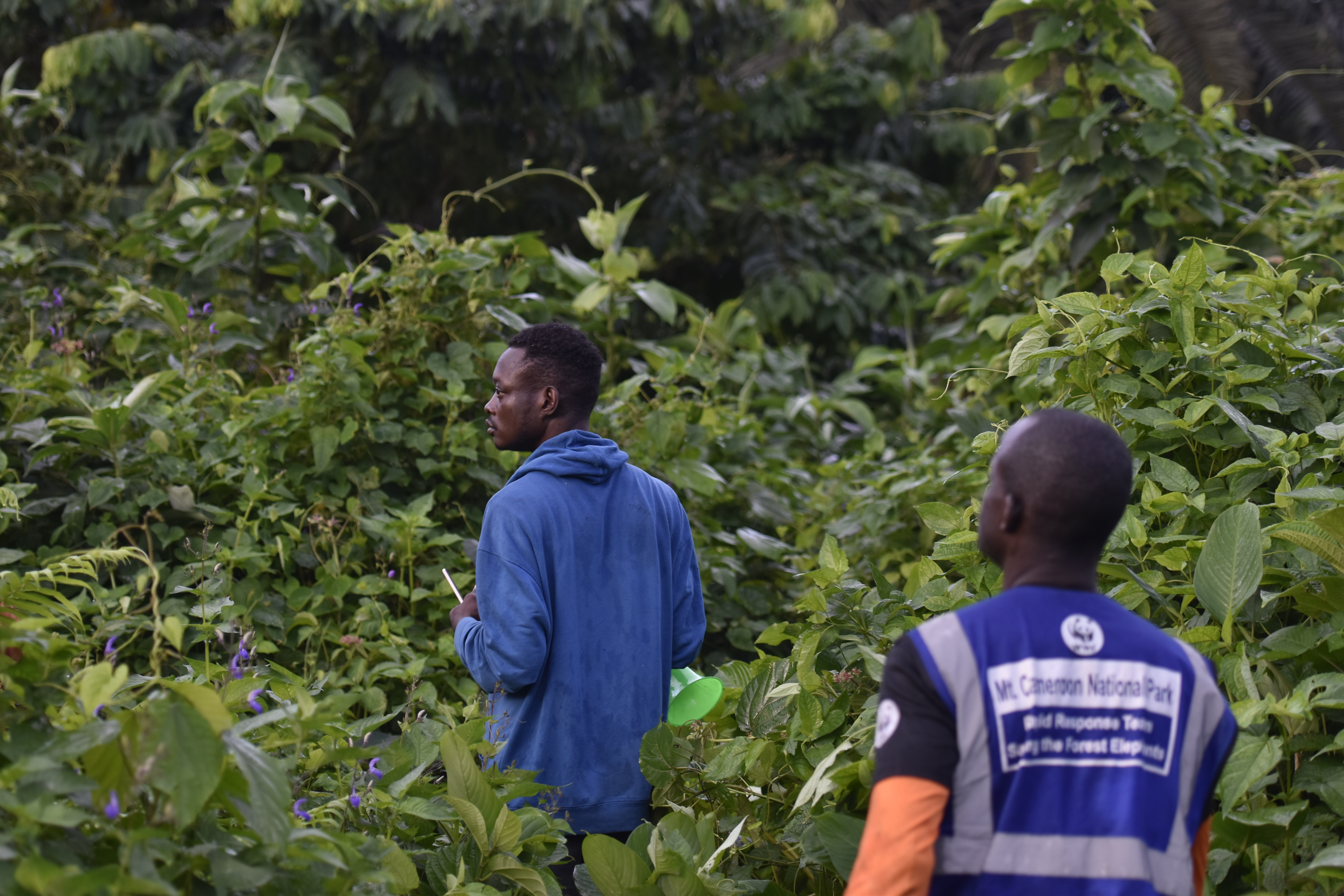
The Mt Cameroon rapid response team in the field. © Horn und Tusk
Three tools currently operational or published — each addressing a gap in publicly available data on Cameroon's conservation and conflict landscape.
Cameroon Wildlife Crime Incident Dataset
The first publicly accessible consolidated record of trafficking and poaching incidents in Cameroon — over two decades of incidents drawn from scattered field reports, NGO documentation, and open sources into a single, structured dataset. Demonstrates the ability to produce research-grade data compilations where none previously existed in the public record.
Access Dataset →Machine Learning & Data Science
Machine learning classification and time series analysis applied to the wildlife crime dataset as part of completed postgraduate research — identifying temporal patterns and incident typologies across two decades of data. Demonstrates applied ML in a conservation context where structured analytical work on this type of data is rare.
View Research →Cameroon Elephant Population Map
The only publicly accessible compilation of all known Cameroonian elephant populations — with population estimates, Tusk Scale ratings, honest data age disclosure, and documentation of populations the IUCN has never included in any assessment. Built entirely independently.
View Map →Anglophone Crisis Conflict Map
A live interactive map of conflict incidents across Cameroon's Northwest and Southwest regions — one of the only independent, publicly accessible documentation tools for a crisis that has been ongoing since 2016 and remains chronically under-reported internationally.
View Map →The following tools are not in deployment but represent directions Horn und Tusk is actively researching for application at the forest elephant and conflict frontier.
Large language models operating agentically — ingesting patrol logs, camera trap records, and wildlife crime reports to surface patterns that would take weeks to identify manually. In a conservation context where data is fragmented across organisations and time periods, automated synthesis has direct value for both research and field decision-making.
Networked camera traps capable of transmitting detections in near real-time rather than requiring physical retrieval. At a site like Mt Cameroon — where the forest edge is active every night and patrol resources are limited — early automated detection of elephant movement toward human areas changes what is operationally possible.
Movement corridor modelling, habitat connectivity analysis, and conflict hotspot prediction built on granular spatial data. The elephant population work already establishes the baseline layer. The next step is predictive — identifying where conflict is likely before it occurs, and where conservation investment has the highest marginal return.
If you are working at the forest elephant frontier, we'd like to talk.
Horn und Tusk is focused on forest elephant conservation, human-wildlife conflict, and wildlife crime documentation in Central and West Africa. If you are working in any of these areas and want to explore what a collaboration could look like — or if you want to bring technology to your own project — we want to hear from you.